Overview
Carbon Neutral engaged Gaia Resources in March 2022 to assess their GIS environment. The Carbon Neutral team found that the file structure arrangement and data management were issues that were affecting their current spatial operational workflow. At the same time, other core elements were highlighted as potential areas for further development: including the establishment of processes relating to GIS workflows, and an overarching company standard for spatial data.
A consultant from Gaia Resources reviewed the structure of Carbon Neutral’s spatial data and general operational procedures around spatial work. After a few interviews required to recognise the current state of the GIS environment, a series of recommendations were made regarding spatial data management and folder structure, an approach to integrating historic spatial data into this structure and best practices to keep a healthy system.
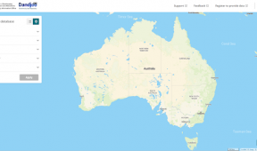
Gaia Resources was also engaged in the development of map templates for QGIS use and the creation of a QGIS project including a series of datasets relevant for Carbon Neutral’s work process. These datasets were connected as Web Map Services (WMS) and contain topological, water, soil and vegetation data, amongst many others.

