Overview
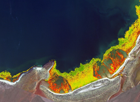
This project investigated the methods, results and discussion of an approach to using remote sensing to delineate Benthic Primary Producer Habitats (BPPH) and Mangrove Habitats in a coastal Pilbara region. The aim was to determine the suitability of a range of different satellite imagery platforms for delinieating BPPH and Mangroves and to monitor their change over time.
A literature review was undertaken, followed by a series of evaluations of different data sources. This was then overlaid with field observation data, analysed, and a series of recommendations as to how to proceed were included. This included recommendations around the conditions under which the future sourcing of imagery should be made, the type of imagery to be sourced, and the other programs that needed to align with the acquisition to have the greatest value to the delineation of BPPH.
Services
Business Analysis / Remote Sensing / Spatial

