Overview
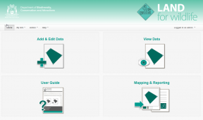
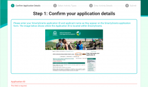
In 2018, the Blackwood Basin Group (BBG) engaged Gaia Resources on a small project to enhance its website with the inclusion of an interactive map feature where landowners could submit project proposals for fences, planting or flora and fauna sightings. The Blackwood Basin Group is a non-profit, community-based organisation that coordinates environmental management within the Blackwood River Catchment in Western Australia. The site that we added includes a Leaflet plugin and map window where registered users can lodge a boundary for proposed work and fill out a series of questions to submit their concept for consideration and support resources.
Their website states: “Would you like to submit a project for on-ground funding or submit a sighting of a feral animal or weed species? Use our interactive mapping tool to map out proposed fence lines, plan revegetation projects or to report sightings of wildlife, native flora and weeds. You can even add photos, property maps and additional information.”
The interactive map displays other layers hosted on the South West Catchment Council‘s GRID application, and this is a small but important piece of the work we do to empower the natural resource management sector.
Services
GRID / NRM / Spatial / Web development


