Overview
Biologic engaged Gaia Resources in late 2017 to provide quality control and data management over their Pilbara region fauna habitat dataset on behalf of a major Perth-based Resources company. The work involved QGIS and ESRI ArcGIS software to cleanse topological errors and merge years of historical survey boundaries into a master dataset. Small overlaps and gaps in the data resulting from past processes and mapping exercises needed to be resolved before the data could be accepted by the ultimate client and incorporated into their enterprise GIS system. Clarity was also required around standard naming and consolidation of habitat features.
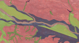
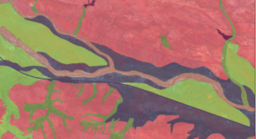
Example area of fauna habitat mapping in the Pilbara
A working process document was developed to establish a common understanding of the work that needed to be done, and the steps we were taking to resolve different types of issues across a large project area.
Throughout the project, our GIS Analyst worked closely with Biologic Environmental Scientists to combine technical expertise with on-ground knowledge of the survey work. This project was a good example of two complementary consultancies working together to build a broader skill-set and achieve a high quality result. We plan to work further with Biologic in future on other related opportunities, giving them enhanced spatial analysis capabilities.

